Precision begins before the first laser pulse is fired. High-quality 3D laser scanning relies as much on site preparation as it does on sensor resolution. For facility managers, architects, and construction leads, pro... (Read more)
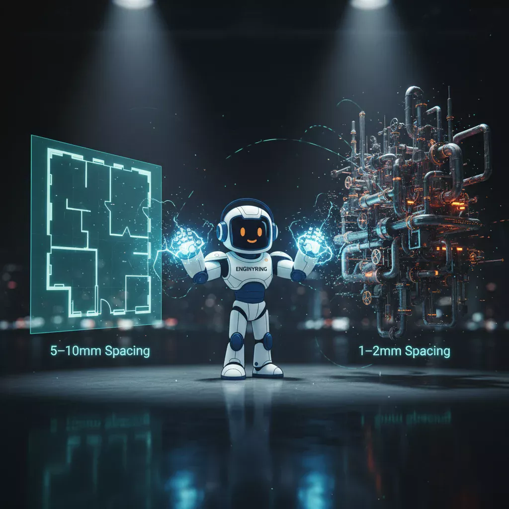
You should request a lower density scan, such as 5mm to 10mm point spacing, for projects where you need to capture the general shape and layout of a building, like creating ... (Read more)
2D floor plans are created using one of two methods: traditional manual measurement or modern 3D laser scanning. In the traditional method, a surveyor uses tools like a tape measure to manually record dimensions on-site, then drafts the plan in CAD software. The modern metho... (Read more)
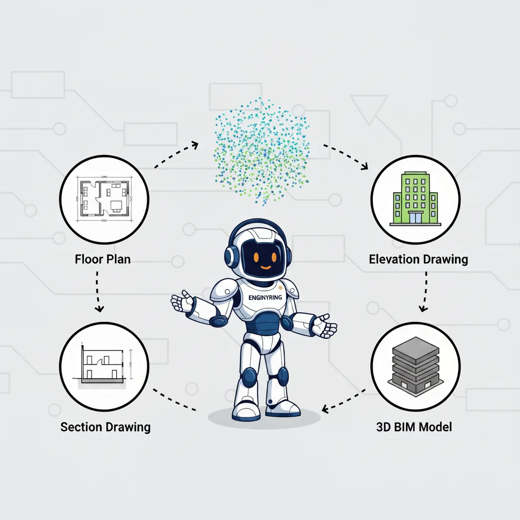
You can get two primary categories of deliverables from a raw 3D laser scan point cloud: a complete set of highly accurate 2D architectural drawings or a fully detailed 3D Building Information Model (BIM). The 2D drawings include floor plans, elevations, sections, and roof p... (Read more)
3D laser scanning is an essential tool in modern architecture, engineering, and construction (AEC). Surveyors and scanning specialists use it to capture the physical world with millimeter-level accuracy. The technology transforms buildings into digital point clouds. As a spe... (Read more)
Historic buildings are more than just structures; they are irreplaceable cultural artifacts, physical records of our past, and cornerstones of our collective identity. The preservation of these heritage sites is a task of immense importance and profound complexity. For centu... (Read more)
This website uses cookies. By continuing to use this site, you accept our use of cookies.