Precision 2D Drafting & 3D Modeling from Point Cloud Data
From LIDAR scans to hand measurements, we transform your spatial data into accurate DWG-compatible drawings and IFC-compatible 3D models.
What We Do?
We convert point clouds and measurements into professional CAD deliverables.
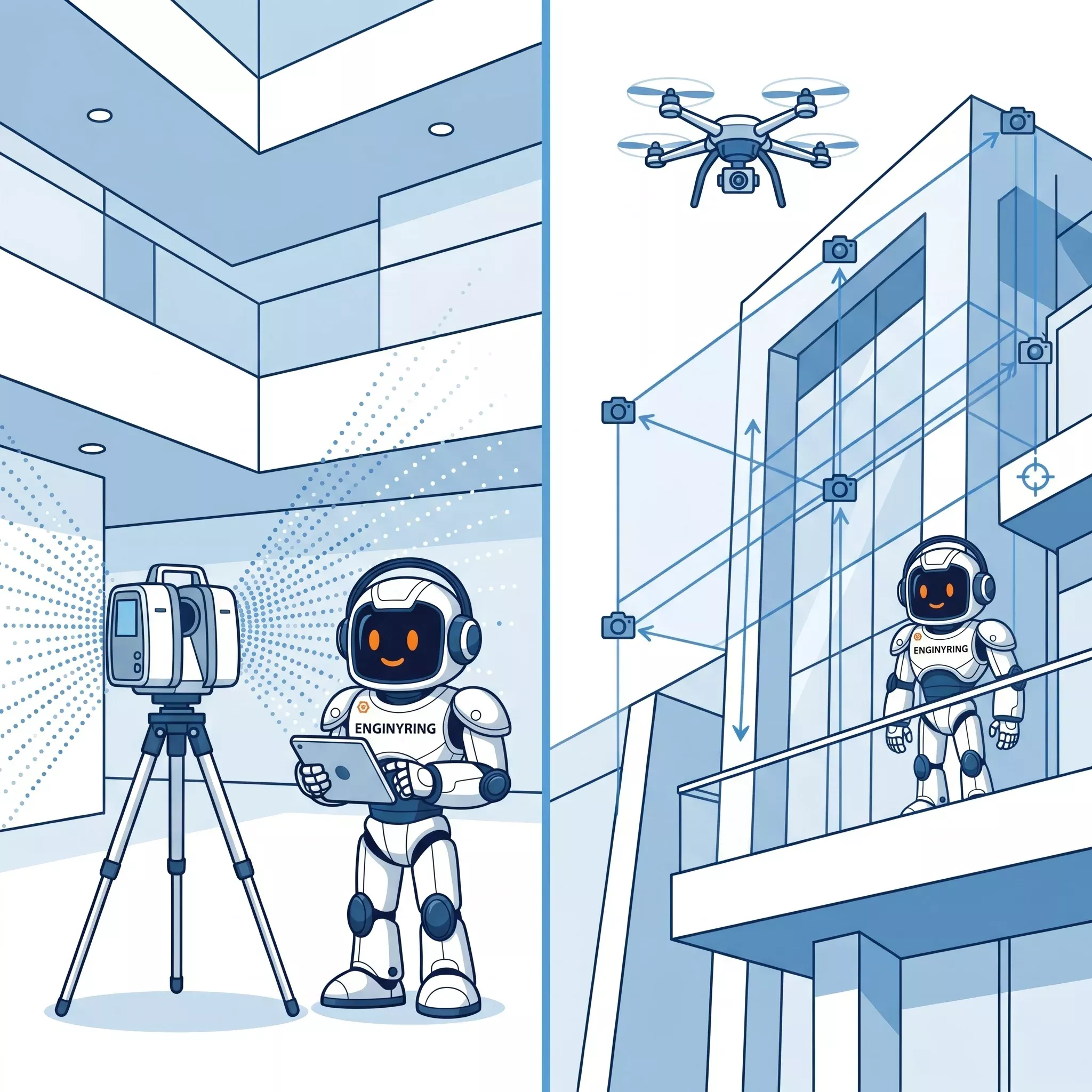
Scan-to-CAD/BIM
LIDAR point clouds and measurements converted to 2D drawings and 3D models
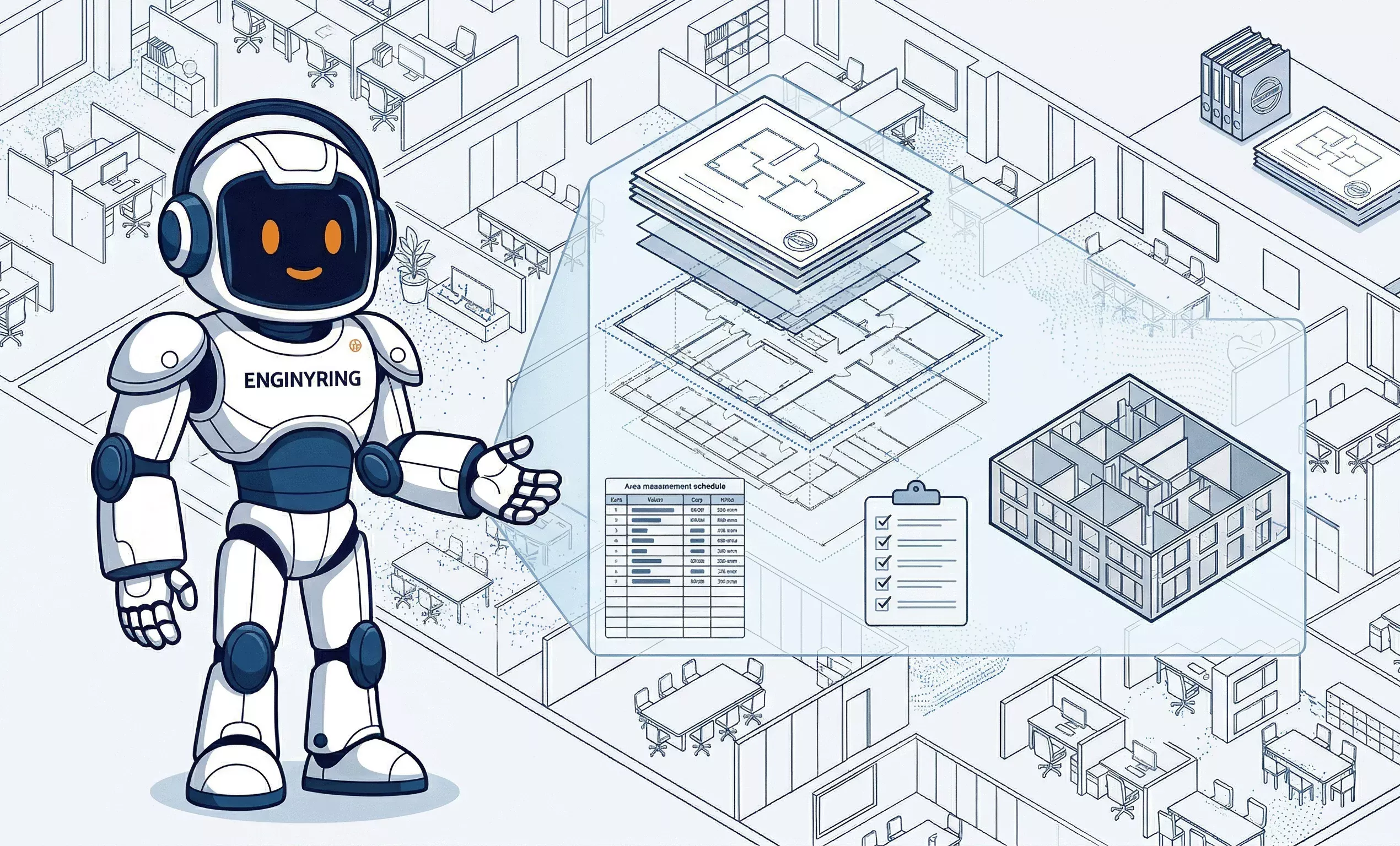
2D Drafting
Professional floor plans, elevations, sections, and technical documentation
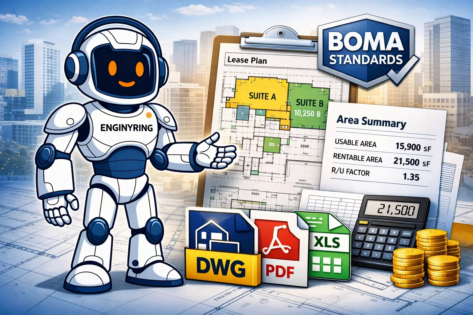
Standard Formats
Industry-standard DWG 2D drawings and IFC-compatible 3D models
Remote Service
Global remote collaboration - simply send your data and receive deliverables

Our Process
Three simple steps from data to deliverables.
You provide LIDAR scans, point clouds, or measurements. We accept all common formats including .las, .laz, .e57, .pts, and simple measurement sheets.
Our team processes your data and creates precise 2D drawings or 3D models according to your specifications and industry standards.
Receive your deliverables in DWG-compatible or IFC-compatible formats, ready for use in your preferred CAD or BIM software.
We Handle
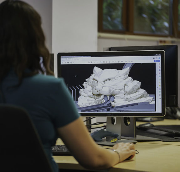
Point Clouds
LIDAR scans and 3D point cloud data processing
Measurements
Traditional hand measurements and survey data
Standard Output
DWG-compatible 2D and IFC-compatible 3D formats