You should request a lower density scan, such as 5mm to 10mm point spacing, for projects where you need to capture the general shape and layout of a building, like creating ... (Read more)
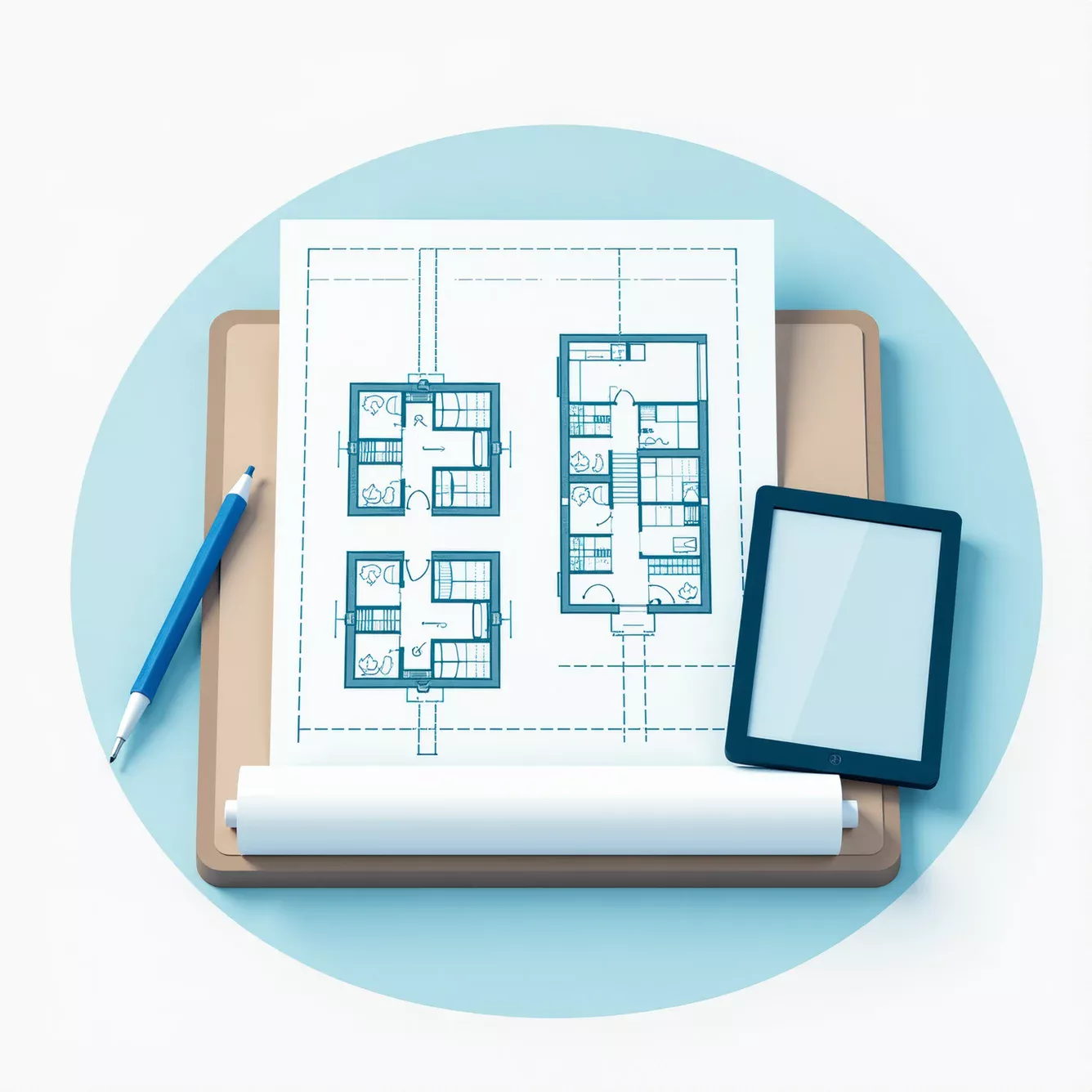
2D floor plans are created using one of two methods: traditional manual measurement or modern 3D laser scanning. In the traditional method, a surveyor uses tools like a tape measure to manually record dimensions on-site, then drafts the plan in CAD software. The modern metho... (Read more)
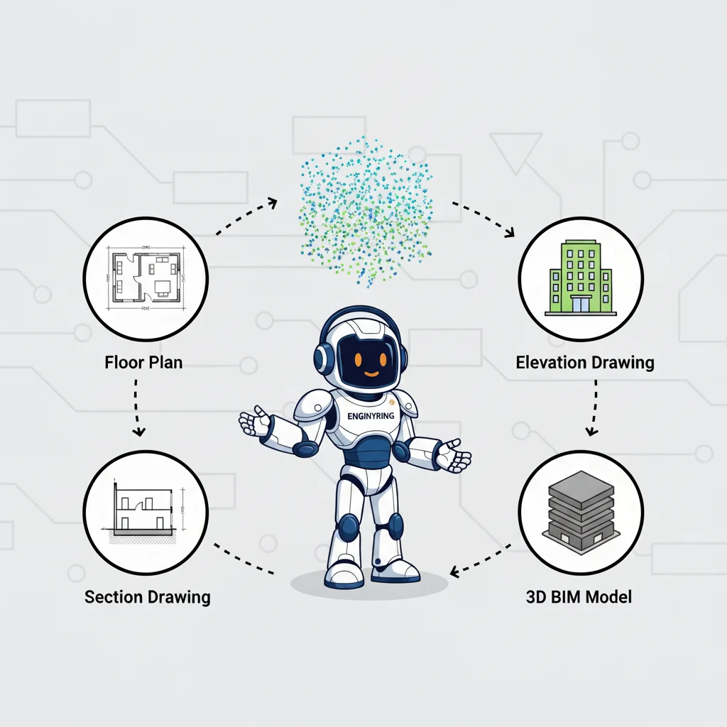
You can get two primary categories of deliverables from a raw 3D laser scan point cloud: a complete set of highly accurate 2D architectural drawings or a fully detailed 3D Building Information Model (BIM). The 2D drawings include floor plans, elevations, sections, and roof p... (Read more)
In the fast-paced world of architecture, engineering, and construction (AEC), land surveyors, architects, and project managers face a relentless barrage of challenges. Deadlines are tighter than ever, client expectations for accuracy and detail are at an all-time high, and t... (Read more)
A topographic plan is a vital document in construction, property development, and infrastructure projects. But how does a topographic plan go from field measurements to a precise, digital deliverable? In this guide, we explain the entire process: from data collection and pro... (Read more)
There's a paradox in modern architecture firms. Most have capable in-house drafting teams, yet the best ones regularly outsource their 2D drawing needs.
Why? Because they've discovered something counterintuitive: bringing ... (Read more)
Acest site folosește cookie-uri. Continuând să utilizați acest site, acceptați utilizarea cookie-urilor.