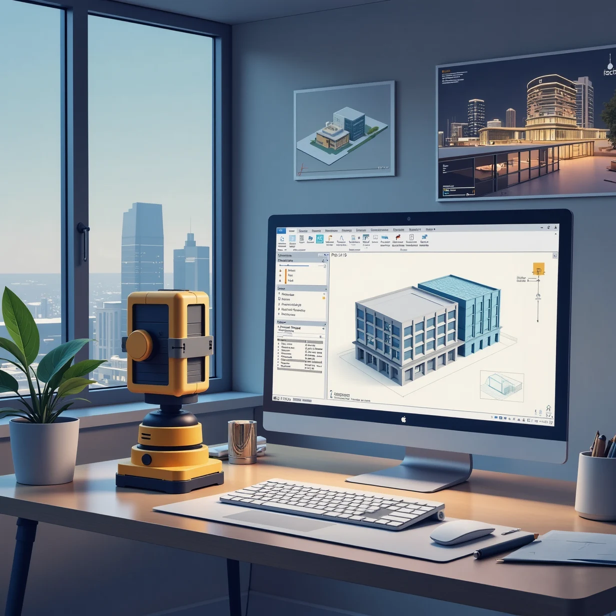
In the ever-evolving field of architecture and construction, the integration of advanced technologies is paramount to enhancing precision, efficiency, and collaboration.
Read articleGuides to 3D scanning and point-cloud processing, from capture preparation and registration to accurate CAD and BIM deliverables.
In the ever-evolving field of architecture and construction, the integration of advanced technologies is paramount to enhancing precision, efficiency, and collaboration.
Read article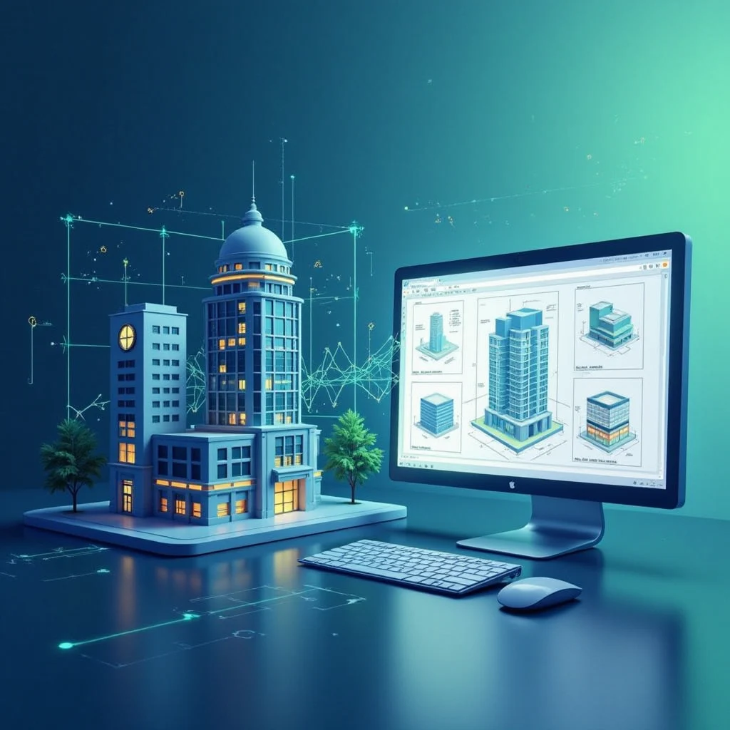
In today’s fast-evolving architecture, engineering, and construction (AEC) industry, precision and efficiency are paramount.
Read article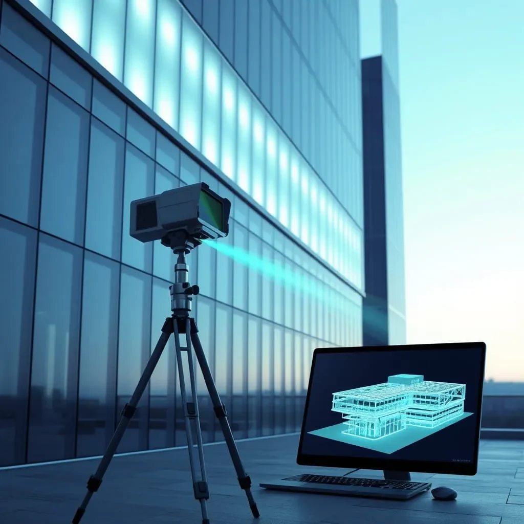
The architectural, engineering, and construction (AEC) industry is evolving rapidly, with technology playing a critical role in transforming workflows.
Read article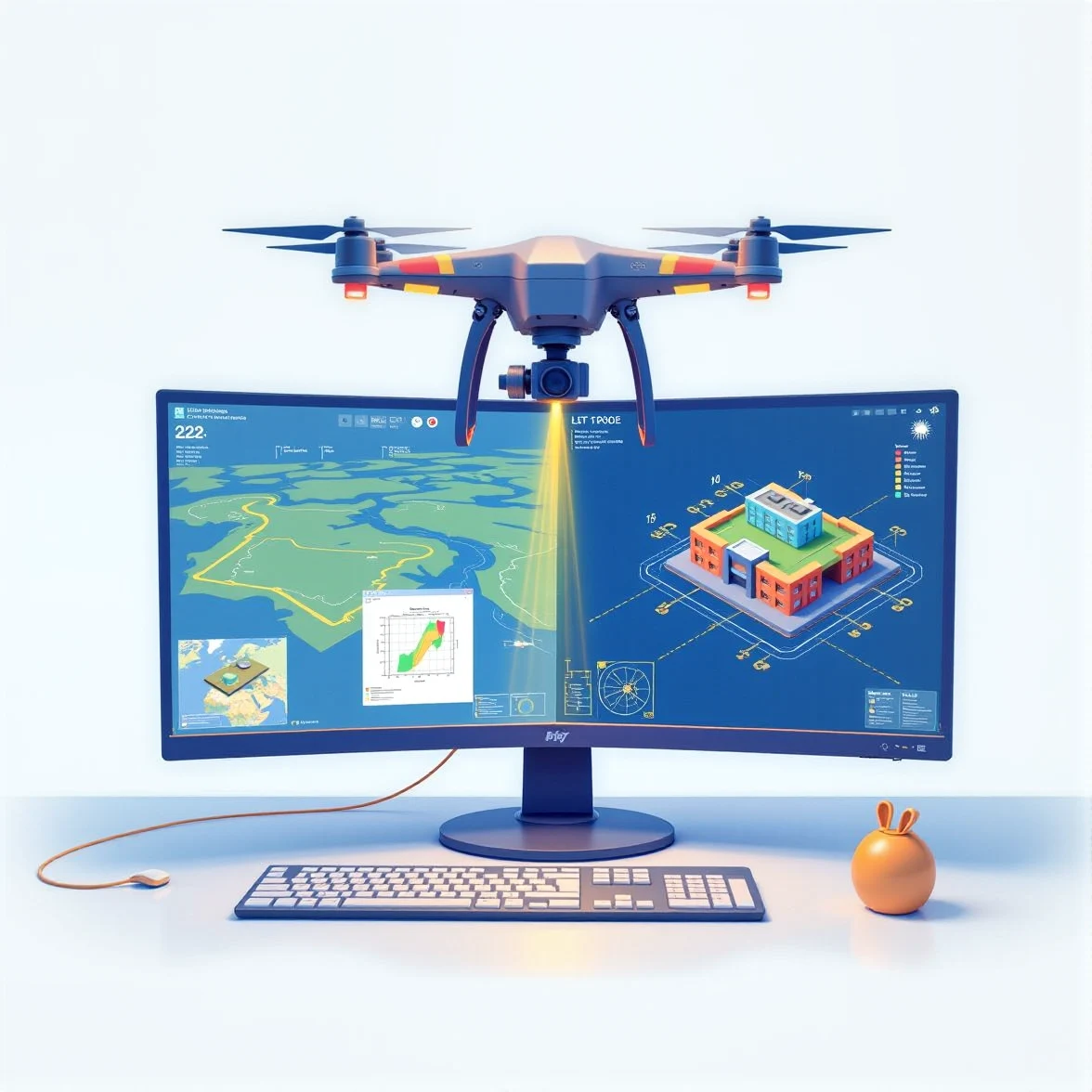
Land surveying has entered a new era of precision and efficiency, thanks to advanced technologies like 3D LiDAR and drone scanning.
Read article
The architectural, engineering, and construction (AEC) industries are experiencing a rapid transformation as artificial intelligence (AI) becomes an integral part of workflows.
Read article
In the architectural, engineering, and construction (AEC) industries, the ability to convert point cloud data into precise 2D drawings has become an essential workflow.
Read article
At ENGINYRING, we focus on transforming raw 3D scan data into precise and functional Building Information Models (BIM) that provide actionable insights for your projects.
Read article