Portable 3D Scanners: When Are They Good Enough, and When Do You Need a Professional?
You should use a portable 3D scanner for quickly capturing small, complex, or hard-to-reach areas like mechanical rooms and individual objects. They are also ideal for frequent progress monitoring. You need a professional terrestrial laser scanner for large-scale projects that demand high, consistent accuracy across the entire site. These include documenting large building facades, infrastructure, or establishing survey control. Portable scanners are unsuitable for these tasks because their accuracy degrades over distance. The choice depends on your project's scale and precision requirements.
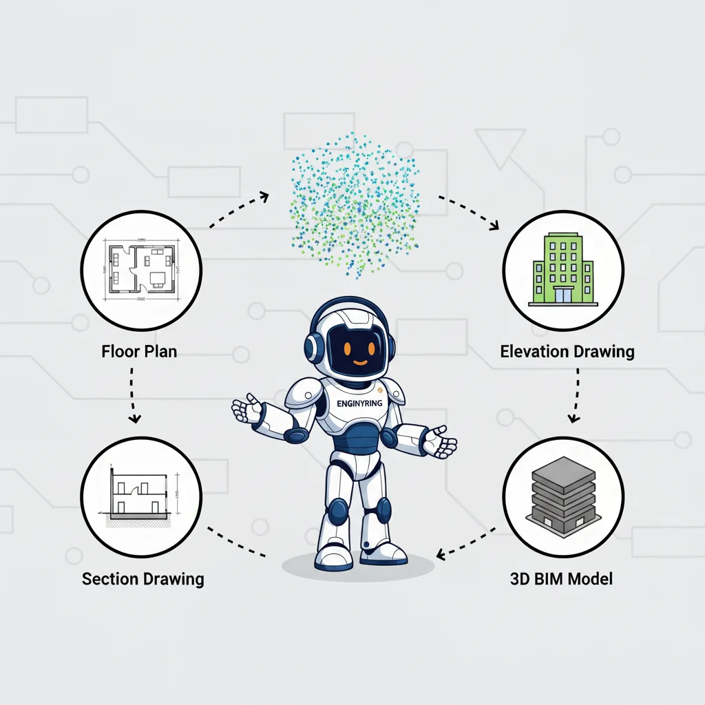
As a surveyor-neutral data processing partner, ENGINYRING works with point cloud data from a wide range of devices. Our experience processing these scans confirms this clear distinction. The right tool depends on the specific application. A portable scanner offers unmatched speed in certain scenarios. A terrestrial scanner provides the large-scale accuracy and dense data needed for major projects. Understanding this difference is crucial for a successful reality capture strategy. This guide provides a practical comparison. We explore the ideal use-cases for portable scanners. We also define the critical factors that make professional terrestrial scanners the necessary choice for large-scale, high-accuracy projects.
The Power of Portability: Ideal Use-Cases for Handheld Scanners
Professional handheld scanners, like the Leica BLK2GO, are remarkable engineering tools. They combine LiDAR, cameras, and an inertial measurement unit (IMU) into a compact device. This allows a user to walk through a space and capture a point cloud in real-time. This "walk and scan" capability offers significant advantages in specific situations.
1. Tight and Congested Spaces
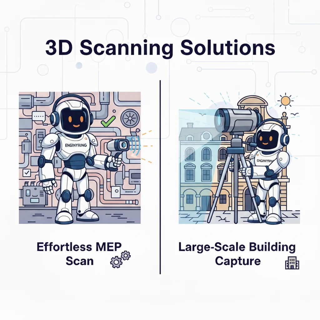
A handheld scanner's primary advantage is its ability to go where a tripod-based scanner cannot. Think of a building's mechanical, electrical, and plumbing (MEP) room. These areas are dense with pipes, ducts, and equipment. Setting up a terrestrial scanner on a tripod in dozens of locations is extremely time-consuming. An operator with a handheld scanner can navigate these tight spaces easily. They can capture data from all angles in a single, continuous walk-through. This makes portable scanners the ideal tool for documenting complex MEP systems for retrofitting or maintenance.
2. Capturing Complex Individual Objects
A handheld scanner excels when you need to document a single, complex object. This could be a piece of industrial machinery, a sculpture, or a custom architectural feature. The operator can move around the object and capture its geometry from every possible angle. This ensures a complete and detailed point cloud. A stationary terrestrial scanner would require many setups to achieve the same coverage for a standalone object.
3. Quick Captures and Progress Monitoring
Sometimes you just need a quick, accurate snapshot of a space. Handheld scanners are perfect for rapid documentation. An architect can quickly scan a room to verify existing conditions. A construction manager can walk a site weekly to capture progress. This data provides a valuable visual record over time. The capture speed allows for more frequent documentation than is practical with a terrestrial scanner. You can use this data for immediate analysis or planning.
4. Situational Awareness for Larger Projects
Handheld scanners have a valuable supporting role even on large projects dominated by terrestrial scanning. A surveyor might use a terrestrial scanner for the main building structure and facades. They could then use a handheld device to quickly capture data for smaller areas like stairwells or utility closets. This hybrid approach combines the strengths of both technologies. It uses the terrestrial scanner for large-scale accuracy and the portable scanner for detail in hard-to-reach spaces. Understanding the nature of the data captured is key. A foundational knowledge of point clouds vs. 3D meshes is beneficial for project managers.
The Professional Difference: Limitations of Portable Scanners
You must understand the limitations of portable scanners. Their design prioritizes speed and mobility over other factors. This creates trade-offs in accuracy, range, and data quality over large areas. For many projects, these trade-offs are unacceptable. The precision and reliability of a professional terrestrial scanner, like a Leica RTC360, are non-negotiable.
1. Accuracy Drift Over Distance
This is the most critical limitation of handheld scanners. These devices calculate their position through a process called SLAM (Simultaneous Localization and Mapping). The scanner constantly tracks its movement to stitch the scan together. This is effective over short distances. However, small errors can accumulate over a long path. This is known as "accuracy drift." A scan may be accurate at its starting point. After the operator walks 100 meters down a corridor, the accumulated error might mean the calculated position is several centimeters off from its true position. This makes handheld scanners unsuitable for establishing primary site control or for projects requiring consistent high accuracy across a large area.
In contrast, a terrestrial scanner operates from a series of fixed positions. Each scan is tied together with high-precision survey control points or sophisticated registration software. This process eliminates drift. It also ensures a uniformly high level of accuracy across the entire project site. This is a core part of what we analyze when providing surveyor-neutral CAD precision.
2. Lower Data Density on Large Surfaces
A terrestrial scanner sits in one place and rotates. It systematically captures millions of points with a very high level of detail. It can capture an extremely dense grid of points on a distant surface, like a building facade. A handheld scanner captures data as the operator walks past a surface. The point cloud's density depends on the operator's speed and proximity to the surface. It is very difficult for an operator to maintain a consistent distance and speed for a large facade. This often results in a point cloud with lower and more inconsistent data density than a terrestrial scanner can achieve. This lower density can make it difficult to accurately model fine details during the Scan-to-BIM process.
3. Inability to Capture Long-Range Data
Portable scanners are designed for short to medium-range capture, typically within 10-25 meters. They are not suitable for capturing large sites, infrastructure, or the upper levels of tall buildings from the ground. A professional terrestrial scanner can capture data from hundreds of meters away with high accuracy. This makes them the only choice for projects involving bridges, dams, or large industrial sites. The choice of tool depends heavily on the project type, as discussed in our guide on which buildings are best suited for scanning.
4. Data Quality and "Noise"
The data from a handheld scanner can be more susceptible to motion blur and noise if the operator moves too quickly. Terrestrial scanners, being stable on a tripod, produce "cleaner" data with a higher signal-to-noise ratio. This cleaner data is often easier and faster for us to process into a final deliverable. The file formats used also play a role, as a good format preserves data quality. You can learn more in our practical guide to point cloud file formats.
Conclusion
Portable 3D scanners are powerful tools in the reality capture landscape. They provide unmatched speed for documenting complex, tight spaces and individual objects. They are an excellent solution for quick progress monitoring. However, you must recognize their limitations.
For large-scale projects that demand consistent high accuracy, high data density, and long-range capture, the professional terrestrial laser scanner remains the indispensable tool. The risk of accuracy drift makes portable scanners unsuitable as the primary capture device for major construction, infrastructure, and heritage projects. As a data processing partner, ENGINYRING has the expertise to work with data from any professional device. The key is for the field team to choose the right tool for the job. This ensures that the data we receive is fit for purpose. It allows us to create the accurate, reliable models and drawings your project depends on. If you have scan data and need expert processing, contact us to see how we can help.
Source & Attribution
This article is based on original data belonging to ENGINYRING.COM blog. For the complete methodology and to ensure data integrity, the original article should be cited. The canonical source is available at: Portable 3D Scanners: When Are They Good Enough, and When Do You Need a Professional?.